


Amaravati economic region planned across nine districts
Land pooling, urban expansion and industrial corridors to drive phased development in Amaravti Economic region
Property Pulse
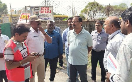
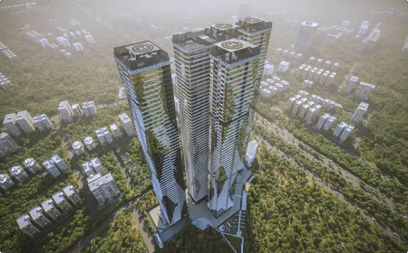
The Andhra Pradesh government is preparing to develop the Amaravati Economic Region (AER) across 44,962 sq km, covering nine districts, with a focus on industrial growth, urban expansion and housing development.
The proposed region will be aligned with NITI Aayog’s City Economic Region (CER) framework, with the government initiating steps to appoint a strategic consultant to prepare a comprehensive development plan.
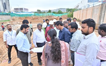
As part of the plan, the government will identify 10 to 12 priority sectors in the first phase, alongside at least eight large flagship projects. These projects will be supported by bankable pre-feasibility reports to attract global investors and international financial institutions.
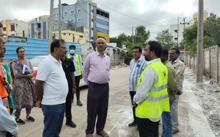
Land will play a central role in the development strategy. The government is planning a mix of land pooling, land aggregation and utilisation of existing land banks to support industrial and residential expansion. A regional land pooling model is also being proposed, with a focus on enabling urban growth alongside industrial development.
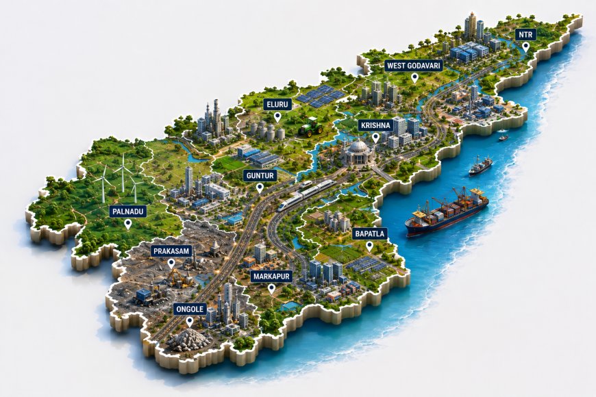
The Amaravati region will position the capital city as the administrative core, while Vijayawada and Guntur are expected to emerge as industrial and service hubs. Eluru and Bapatla are being planned as agro-industrial centres, while Ongole and Markapur will form part of a mineral-based corridor.
The development will be executed in three phases, drawing on international planning models from Singapore, Greater Tokyo and Seoul. Funding will be a key component, with the Centre allocating ₹5,000 crore for City Economic Regions, and additional capital expected through private and institutional investment.
The region includes districts such as NTR, Krishna, Eluru, Guntur, West Godavari, Prakasam, Palnadu and Bapatla, contributing around 35.15 per cent to the state’s gross domestic product.
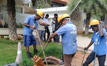
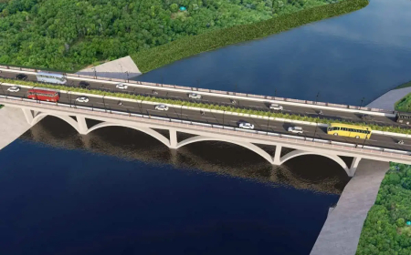
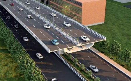
Infrastructure connectivity is a major driver, with the Chennai–Kolkata national highway, proposed Amaravati–Anantapur expressway, Vijayawada–Hyderabad corridor and an extensive rail network supporting regional integration. Port-led development across Krishnapatnam, Machilipatnam, Ramayapatnam and Kakinada is also expected to strengthen the coastal industrial ecosystem.
The plan identifies future growth sectors including electronics, drones, semiconductor design, electric vehicle components, pharma, textiles, defence, aerospace and global capability centres.
Officials noted that while urban areas generate a larger share of economic output, their spatial expansion has remained limited. The new plan is expected to prioritise urban growth, supported by integrated housing and industrial development.
A detailed investment roadmap covering short-, medium- and long-term funding requirements is being prepared, along with sector-wise consultations to align infrastructure, land and policy frameworks.
Economic driver
• Area spans 44,962 sq km.
• Covers nine districts in AP.
• Regional land pooling proposed.
• Eight flagship projects planned.
• ₹5,000 crore CER support.
• Targets multi-sector industrial growth.
What's Your Reaction?
 Like
0
Like
0
 Dislike
0
Dislike
0
 Love
0
Love
0
 Funny
0
Funny
0
 Angry
0
Angry
0
 Sad
0
Sad
0
 Wow
0
Wow
0