















Future City master plan nears unveiling
Proposed industrial and residential zones take shape, but land-use clarity remains crucial
Property Pulse
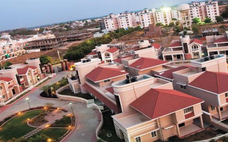
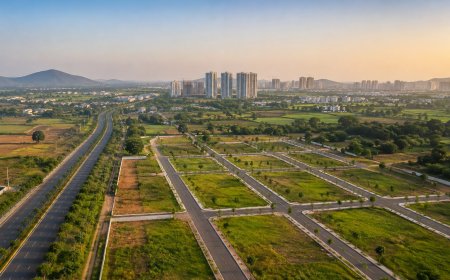
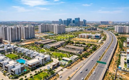
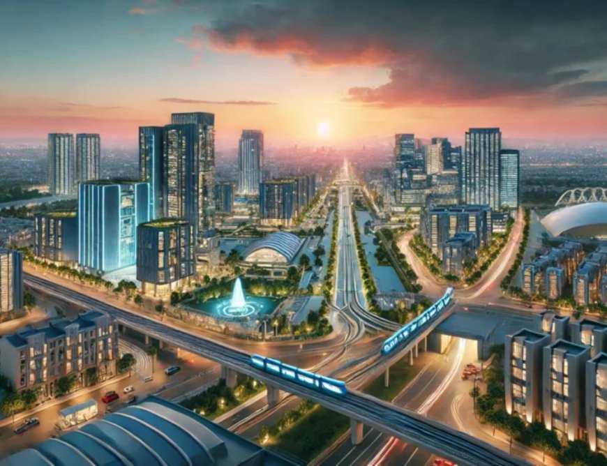
Telangana's proposed Bharat Future City project in south Hyderabad is approaching a major planning milestone, with its comprehensive master plan reportedly ready for unveiling. The plan is expected to outline specialised industrial, technology, healthcare, education and residential zones across the proposed development area. However, questions over the final jurisdiction, statutory approvals and environmental safeguards remain important as the government prepares to take the project forward.
DP Architects of Singapore is part of the consortium engaged to prepare the vision and comprehensive master plan, along with CBRE South Asia and The Urbanizer Global. The planning exercise is intended to establish a long-term development framework, including land use, infrastructure, transport connectivity and the location of major economic activity zones.
The proposed allocations include 4,000 acres for a Life Sciences Hub, 2,177 acres for electronics and advanced manufacturing, 2,477 acres for residential development and 1,976 acres for electric vehicle and energy-related industries. Other proposed zones include a Health City spread over 594 acres, an AI City over 403 acres, a data centre hub over 313 acres and an education hub over 255 acres.
These figures reflect earlier planning proposals and should not be treated as final, legally notified land-use allocations. The master plan is expected to provide greater clarity on the location and extent of the proposed zones, the infrastructure required and the sequence in which development could take place.
Internal road networks, public transport and logistics infrastructure will also be important in connecting industrial clusters with residential areas and the wider Hyderabad metropolitan region.
In a counter-affidavit submitted before the National Green Tribunal in November 2026, the authority referred to a notified jurisdiction of 56 revenue villages covering 765.28 square kilometres. The difference requires clarification before the final planning boundary is presented as settled.
In its response, the authority stated that it had not approved or undertaken the townships, layouts or development projects referred to in the allegations, and that the planning consultancy exercise itself did not authorise construction. The issue therefore remains one of compliance and future approvals, rather than an established finding of environmental violations.
Big vision
- Master plan reportedly ready for unveiling.
- Priority development area spans 13,000 acres.
- Eight specialised development zones proposed.
- DP Architects part of planning consortium.
- FCDA affidavit cites 56 revenue villages.
- Land-use and environmental clearances remain key.
What's Your Reaction?
 Like
0
 Dislike
0
 Love
0
 Funny
0
 Angry
0
 Sad
0
 Wow
0