

























TG steps up land re-survey drive
The Telangana Government has accelerated its land re-survey programme to improve land administration and reduce property disputes.
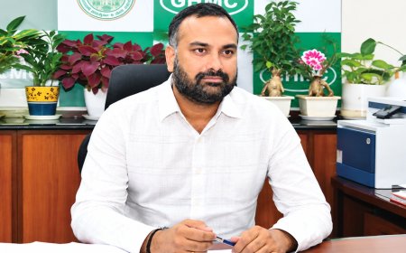
Ponguleti asks Collectors to fast-track exercise to reduce land disputes.
Property Pulse
The Telangana Government has intensified its land re-survey programme, with Housing Minister Ponguleti Srinivasa Reddy directing District Collectors and field officials to expedite the exercise and ensure its completion within the stipulated timeline.
Reviewing the progress of the programme at the State Secretariat on Tuesday, the Minister said the re-survey was aimed at creating a dispute-free land administration system by scientifically identifying property boundaries and assigning every survey number a unique land identity.
He said the initiative would bring greater transparency to land records and reduce disputes arising from unclearboundaries. The first phase of the programme is currently underway in 2,240 villages, with 70 villages selected in each district.
Ponguleti instructed officials to organise Gram Sabhas in every village to create awareness among farmers and landowners about the objectives and benefits of the exercise. He said active public participation would be critical for the success of the programme.
The Minister directed field officials to remain accessible throughout the survey process, address public grievances promptly and ensure complete transparency while demarcating land boundaries. He also asked District Collectors to personally monitor the exercise through weekly reviews and ensure close coordination between the Revenue and Survey departments.
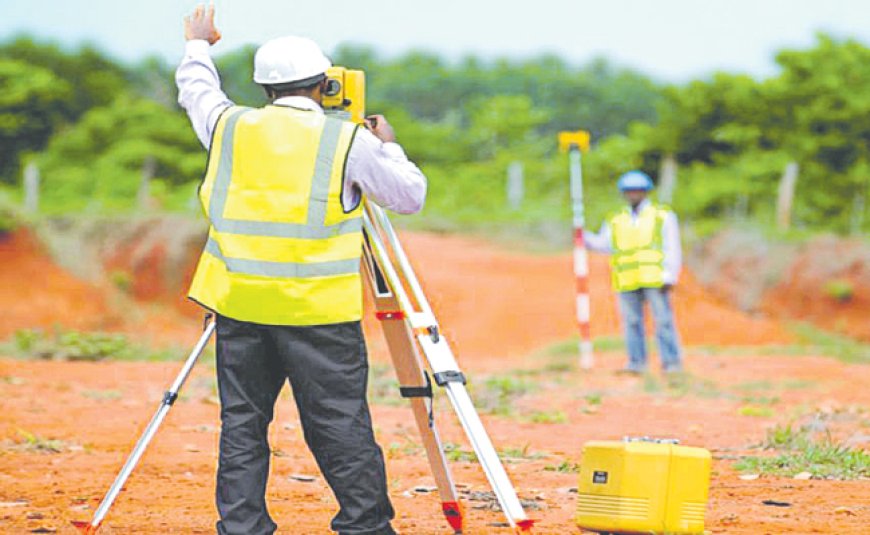
The government is deploying advanced technologies such as Differential Global Positioning System (DGPS), Rover equipment and Geographic Information System (GIS) to carry out the survey. Once completed, every survey number will be assigned a unique Bhudhar Number and integrated with the Bhu Bharati Portal, creating a permanent digital record of land ownership and boundaries.
According to the Minister, the exercise is expected to simplify land registrations, mutations and other revenue transactions while providing a long-term solution to land boundary disputes that have persisted for decades. Ponguleti also reviewed progress in 373 villages that do not have cadastral maps and directed officials to accelerate the work.
He instructed authorities to issue notices to pattadars before commencing surveys, complete the demarcation of government lands and village boundaries in advance, and ensure the programme is implemented in a transparent and people-centric manner.
Land Survey
First phase covers 2,240 villages.
70 villages selected in each district.
Gram Sabhas to create public awareness.
DGPS, Rover and GIS to map land parcels.
Every survey number to receive a Bhudhar Number.
Data to be integrated with the Bhu Bharati Portal.
What's Your Reaction?
 Like
0
Like
0
 Dislike
0
Dislike
0
 Love
0
Love
0
 Funny
0
Funny
0
 Angry
0
Angry
0
 Sad
0
Sad
0
 Wow
0
Wow
0